Weathered beacons
Still standing through storm seasons and salt wind.
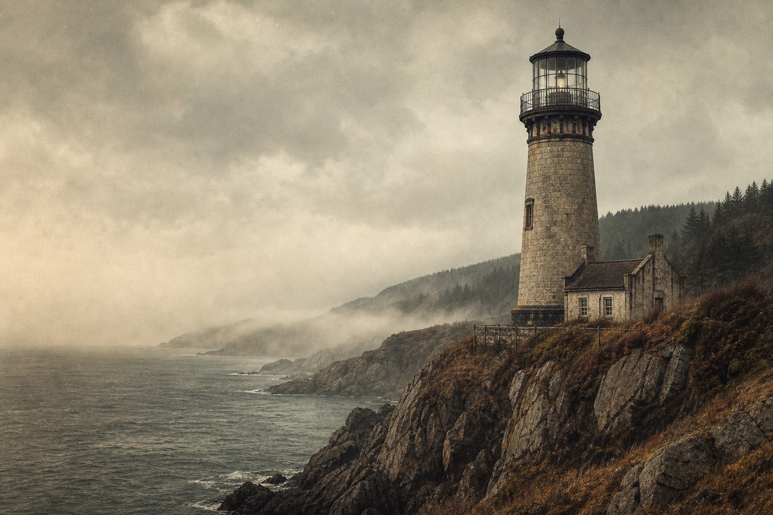
Northern Coast Maritime Heritage
Explore archival photographs, keeper recollections, and preserved towers that continue to shape shoreline memory.
Weathered beacons
Still standing through storm seasons and salt wind.
Preserved towers
Documented landmarks connected to place and route.
Coastal memory
Stories carried forward by keepers and communities.
A quick orientation to the northern shoreline: how its lights, weather, and communities shaped a connected maritime landscape.
Towers were positioned as visual handoffs, guiding vessels from exposed points toward safer inner waters.
Wind, salt, and fog influenced materials and forms, leaving a practical architecture distinct to this coast.
Many stations shifted from daily navigation duty into protected landmarks with community-led stewardship.
Oral accounts and logbook fragments preserve the human routines that gave each light its local character.
How the network formed
Across a century, towers shifted from local warning lights into a linked navigation system that helped vessels read the shoreline in sequence.
1824 · Harbor threshold light
A fixed lantern at the river mouth marked the first dependable entry point for coastal cargo traffic.
1847 · Headland expansion
Two exposed capes gained tall stone towers, extending safe passage beyond sheltered inlets.
1871 · Patterned signaling
Distinct flash rhythms were standardized so captains could identify each station by night.
1903 · Network coordination
Logbooks, fog signals, and telegraph updates linked stations into a coastwide guidance chain.
This arc bridges the regional overview in coastline highlights and the deeper material in archive collections.
Archive Collections
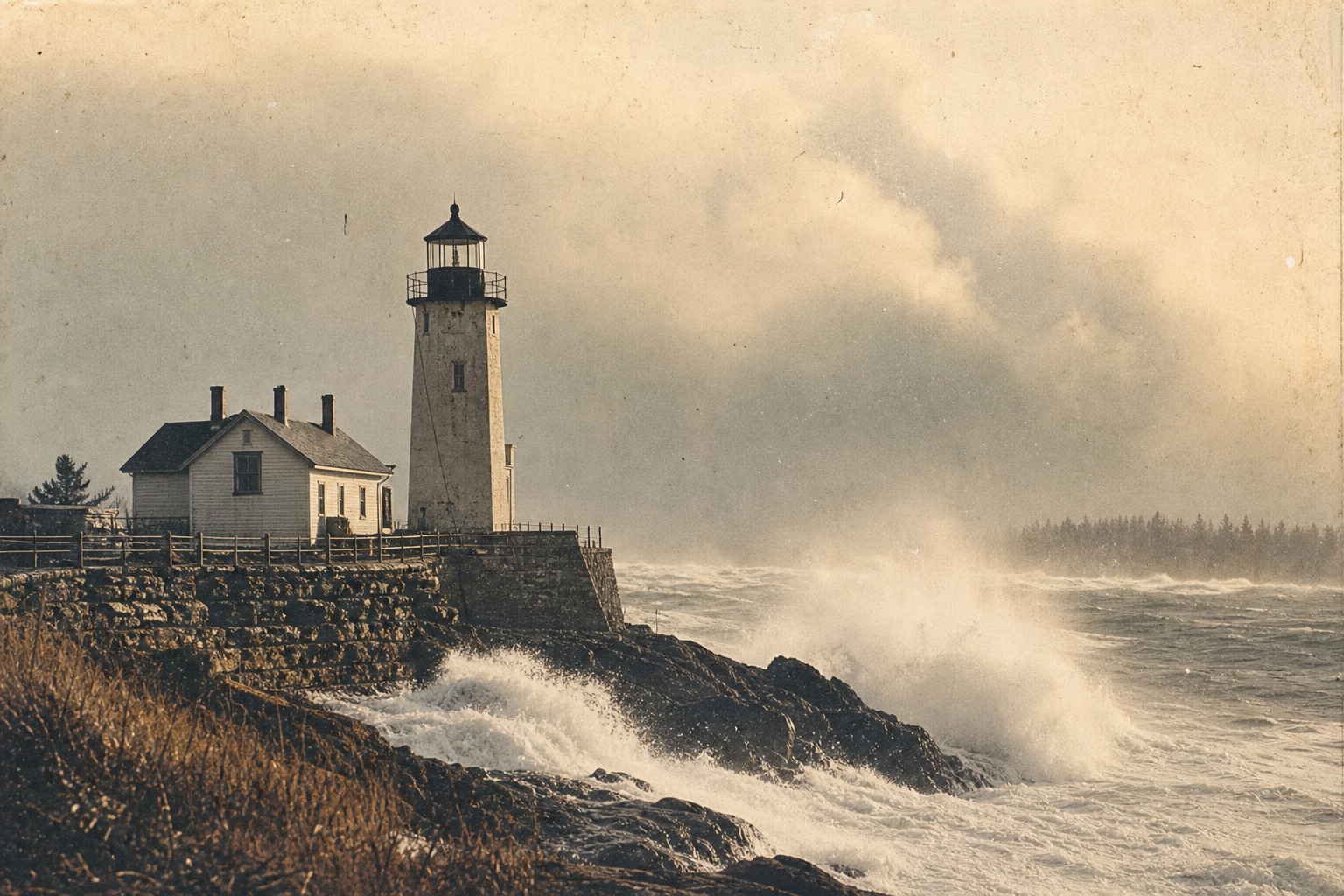
Archive views of towers braced against mist, rain, and open-sea weather.
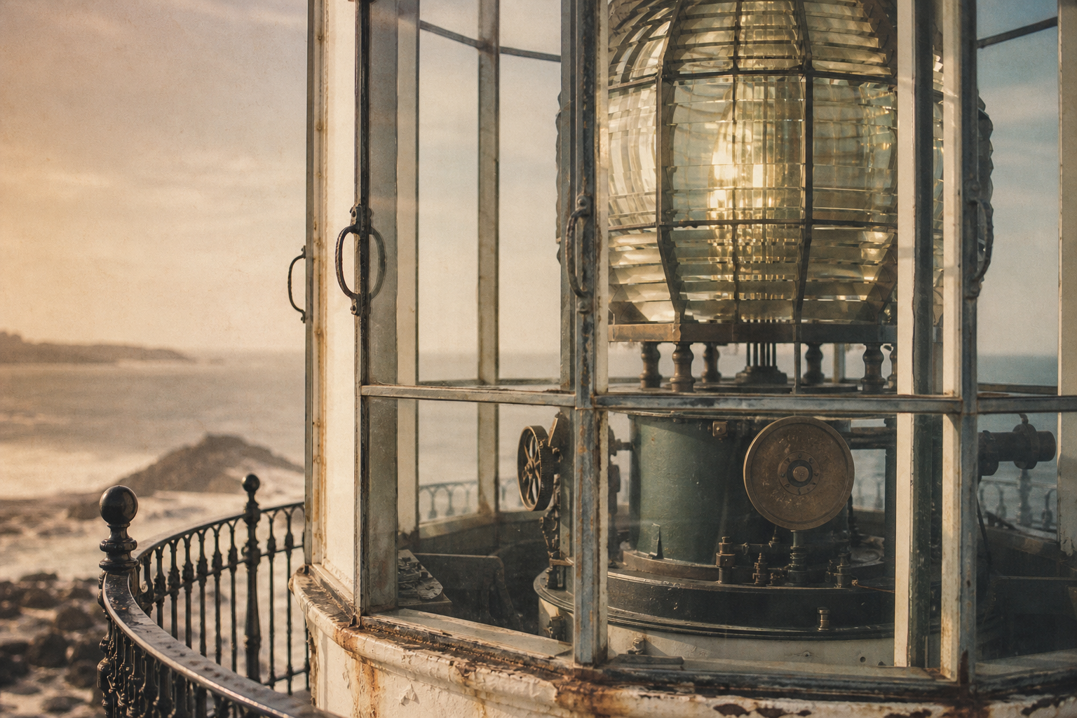
Close details of lamps, glazing, ironwork, and the mechanics of the light.
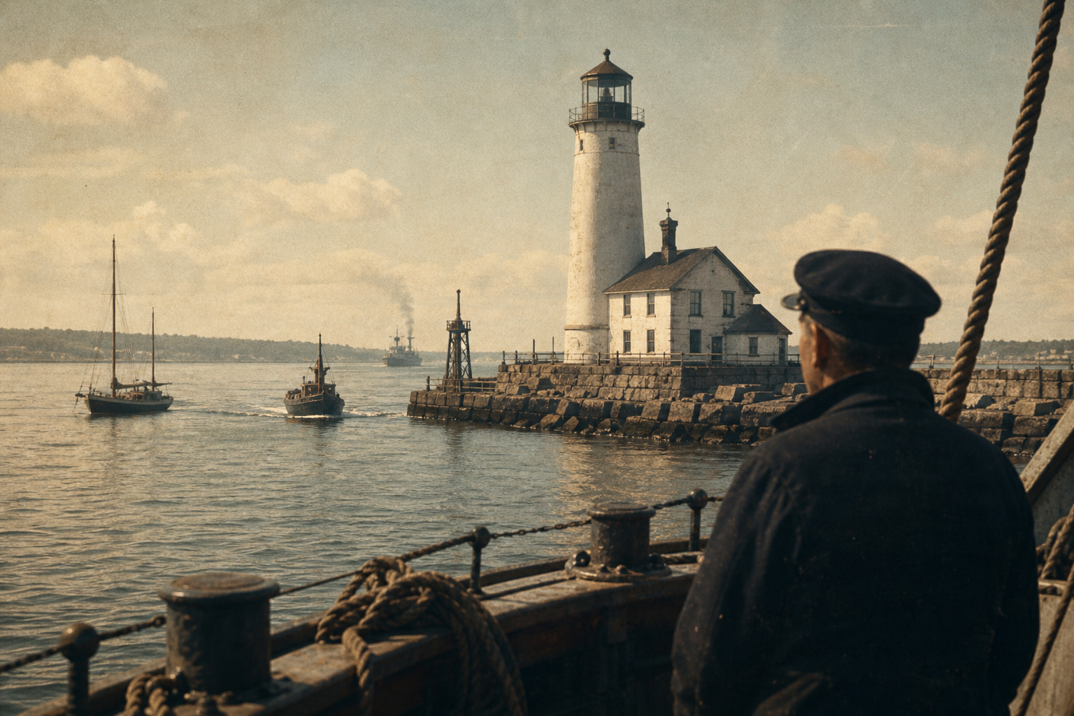
Photographs and notes tracing how lights guided vessels toward safer water.

Domestic corners, routines, and traces of the keepers who lived with the sea.
Keeper Stories
Between fog bells and oil logs, keepers built routines that made each tower feel less like a monument and more like a home at the edge of weather.
In winter 1934, Marta rose before first light to trim wicks, warm the keeper\'s kitchen, and mark wind shifts in a neat blue pencil. Her entries read like weather and family life in one breath: "fog thick, soup thin, lamp steady."
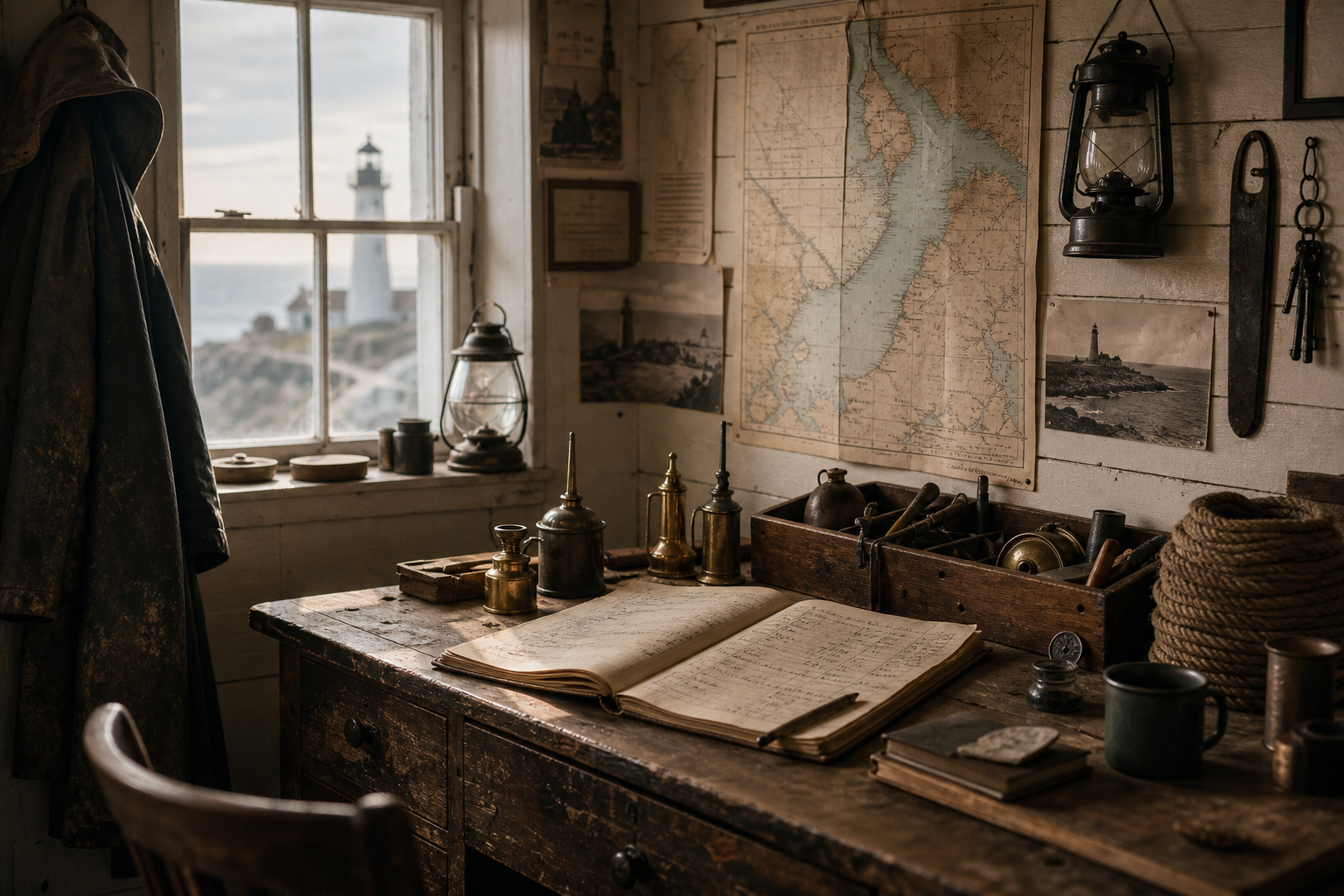
"When the fog closed in, we listened for the bell rope and each other. That was how a station stayed brave."
The quote survives in a taped interview, where work instructions drift into memory and companionship.
Elias called sunset "handover hour"—the point when daylight yielded to lantern duty. Neighbors remembered him pausing at the gallery rail, checking fishing lights offshore before writing the final line of each shift.
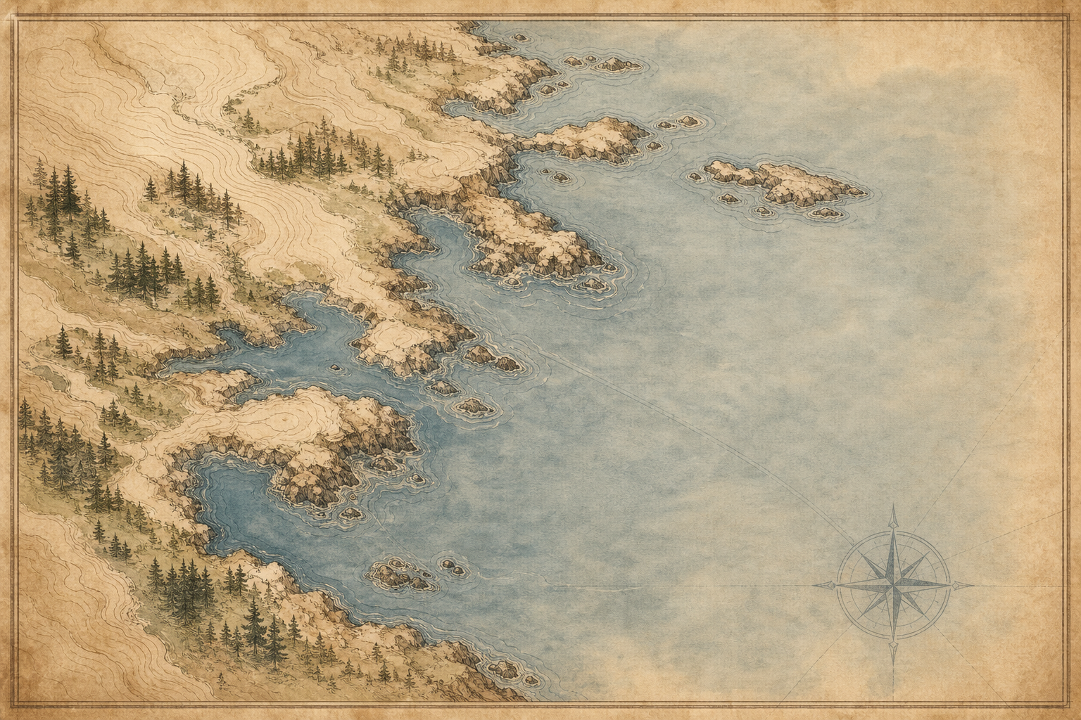
A quick geographic reference to surviving beacons, their shoreline settings, and how they connect across the coast.
A few practical notes for visitors and researchers before you continue exploring the coast. You can always return to the preserved towers map or read more keeper stories.
Access varies by site: many exterior grounds are open daily, while tower interiors often follow seasonal hours or guided-open dates posted by local stewards.
No—some remain active with modern beacons, while others are preserved as heritage structures; each tower profile notes its current operational status.
Light and visibility change quickly on the coast; bring wind protection, check tide timing, and confirm whether tripods or drone use are restricted at specific preservation sites.
Seasonal wind, fog, and storm swells can limit viewpoints and access roads; autumn and spring often offer clearer air with fewer crowds, but conditions can shift within hours.
Yes for reference and classroom use with citation; for publication or commercial reuse, check credits in each item and contact the listed archive or rights holder directly.